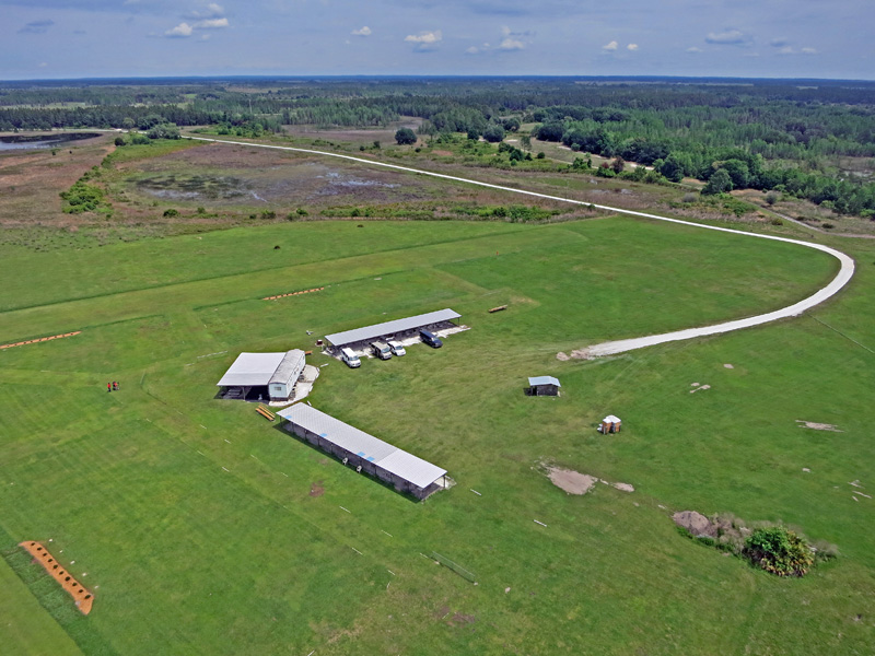
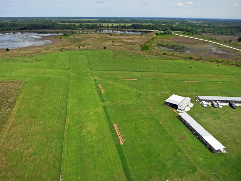
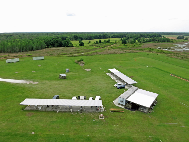
Aerial pictures of the Area 52 Flying Field
(Brett Horton’s photography)
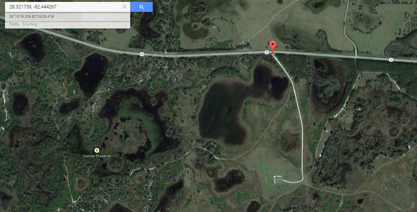
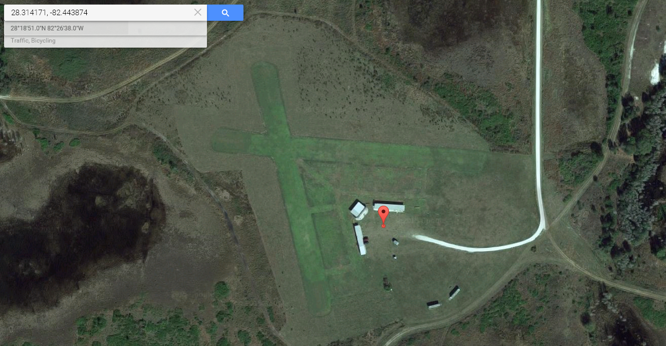
Area 52 Coordinates
Main Gate, on State Road 52:
Parking Lot:
Notes
The “Area 52” Flying Field in Pasco County features two 800 foot runways, oriented North-South and East-West. There are two 100 foot long covered Pilot Shelters, with ceiling fans and electrical power outlets. A large covered Pavilion area with ceiling fans and a cold water fountain is adjacent to the kitchen/pilot room trailer. A well provides water to the sprinkler system.
Grass mowing schedule: normally Tuesdays and Fridays. Depending on the grass growing season, one or both of these days may be skipped.
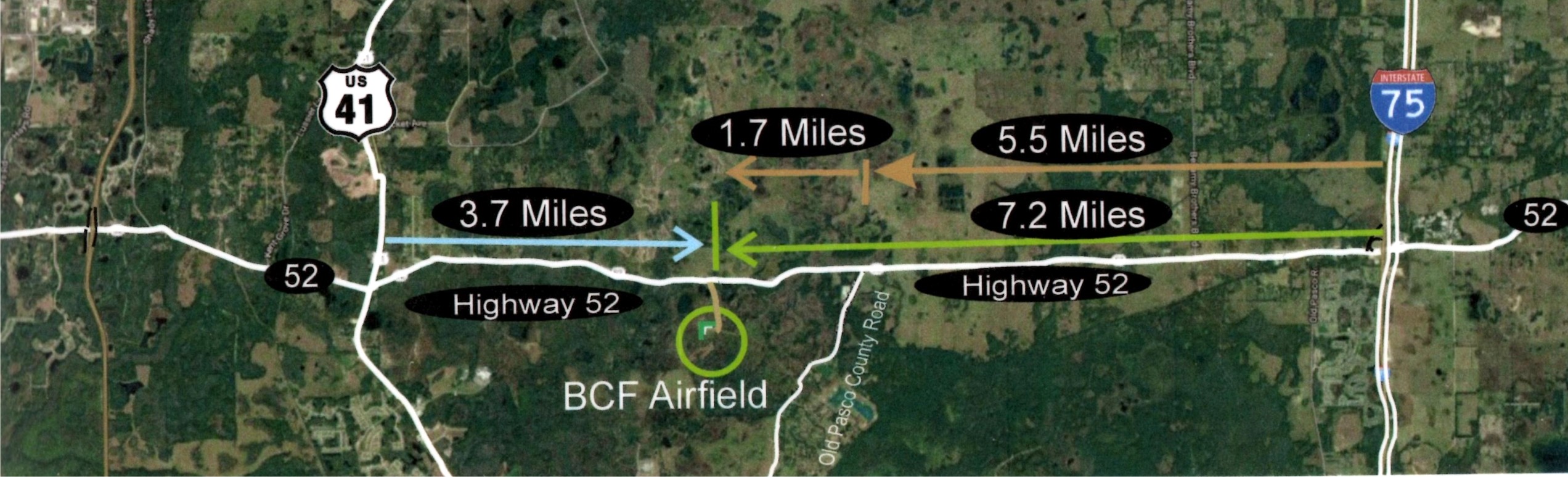
Driving Directions: Entrance gate to the field is located at 22500 State Road 52. The gate is on the south side of the highway, about 6.8 miles west of I-75 Exit 285, and 3.6 miles east of US Highway 41. Enter through the gate, and please ensure that the gate is locked behind you. Proceed up the dirt road and turn right on the road into the parking lot behind the Pavilion and Pilot Shelters.
Important Field Requirements:
When driving in and out of the field, please observe the 15 MPH speed limit – excessive speeds will tear up our road, and there will be no way into the field during the wet season.
When entering or leaving the flying field always close the gate and lock the combination lock. Remember to roll all the lock tumblers.
Our flying field is on Southwest Florida Water Management District land, so it is very important that all rules be followed, to be able to renew our lease.
Meeting these requirements will safeguard the privilege of flying at this field.